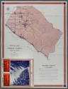

Map of Orange County California
ClassificationsPrinted Materials-maps
Date1930-1939
Made AtCalifornia, United States, North America
MediumPaper and ink
DimensionsFolded: 3 3/8 × 5 7/16 in. (8.6 × 13.8 cm)
Credit LineGift of Lane County Museum
Object number81.31.1
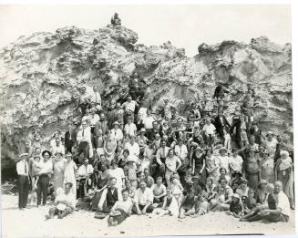
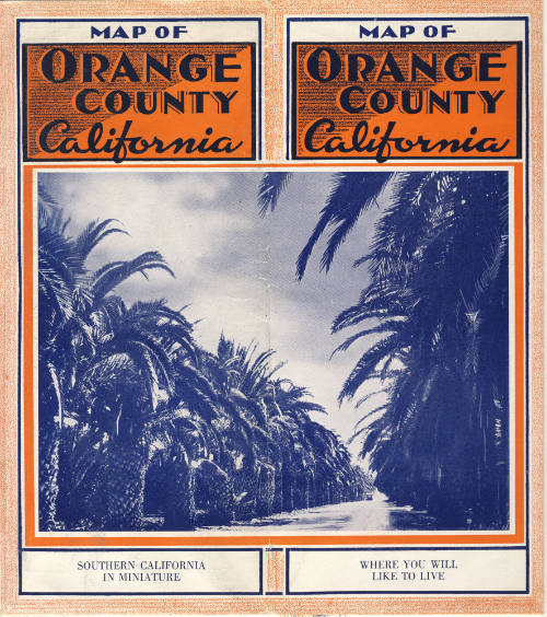
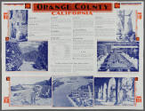
DescriptionThis object is a map and advertisement for Orange County, California. Published in the late 1930s by the county's Board of Supervisors, this fold-out pamphlet was made for the purpose of attracting tourists, potential residents, and business owners to the rapidly growing county. On one side, it features a map of OC and its major highways, and on the reverse side a series of blurbs and photographs describing the county's industry, climate, and recreation opportunities.The messaging on this pamphlet presents an interesting contradiction. One section proclaims that in Orange County, "both visitors and residents find one of those rare exceptions in life, where reality exceeds anticipation and where promise is lost in the beauty of fulfillment." However, another section ironically states that "at present there are no opportunities in Orange County for newcomers seeking work."
On View
On viewCollections

1880-1899
Early 20th Century